Address: 15 Great Plains Street, Brampton, ON, L6R 125, Canada
Services Overview
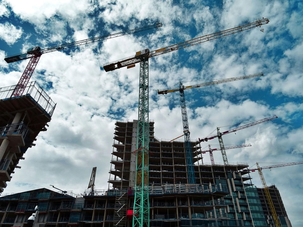
Professional Surveying Services Tailored for Every Project
We provide a full range of land and construction surveying services designed to support residential, commercial, industrial, and infrastructure development.
Our team uses advanced GNSS systems, Total Station technology, and laser scanning tools to deliver precise measurements, accurate layouts, and reliable spatial data.
For each deliverable, we offer dependable solutions that ensure seamless engineering execution and confident decision-making for every project.
Services Overview
Professional Surveying Services Tailored for Every Project
We provide a full range of land and construction surveying services designed to support residential, commercial, industrial, and infrastructure development. Our team uses advanced GNSS systems, Total Station technology, and modern drone mapping tools to deliver precise measurements, accurate layouts, and reliable geospatial data. From boundary surveys and topographic mapping to construction staking and project monitoring, we offer dependable solutions that ensure seamless engineering execution and confident decision-making for every project.
Our Services
3D Scanning or Reality Capture
The use of LIDAR scanning instruments allows us to provide deliverables ready 2D and 3D CAD Documentation for each stage of a project’s scope.
Site Control & Survey Control Networks
AKM can setup accurate reference points (control) that all trades can rely on when standardizing coordinate systems and elevations.
Construction As-Built
Tying in physically built designs to provision sign-offs, records, and approvals of final locations and elevations
Construction Layout / Staking
Transfers design to the real world including excavations, foundations, grid lines, anchor bolts, roads, and both surface and overhead utility alignments.
Subdivision / Severance & Planning Support
AKM has a solid basis of experience in providing survey products and documentation needed for creating new lots, severing land, or supporting planning applications.
Topographic (Existing Conditions) Surveys
These surveys detail what is on a given site today, such as ground elevations, slopes, buildings, curbs, trees, utilities seen on the surface, and other features.
Boundary & Legal Surveys
Residential Boundary and Legal Surveys are the bedrock of informed decision-making in real estate transactions.
We use cookies to improve your browsing experience, analyze traffic, and support marketing.
See our Privacy Policy.