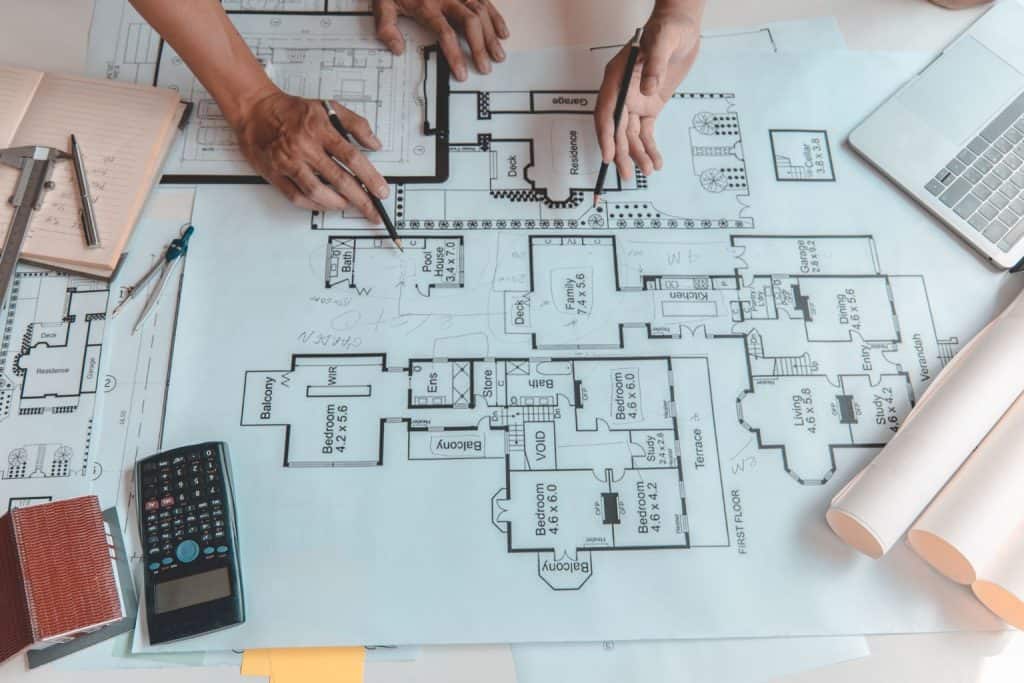
Topographic (Existing Conditions) Surveys in Toronto & GTA


Accurate site mapping and elevation data to support confident planning, design, and construction across Toronto and the GTA.


Engineering & Compliance Support

Trusted documentation aligned with city regulations and construction requirements for smooth approvals.

Final Site Accuracy Records

High-accuracy as-built surveys that confirm what was actually constructed on-site with confidence and clarity.

Unified Project Data

One accurate source of truth for all project stakeholders, reducing errors and miscommunication.
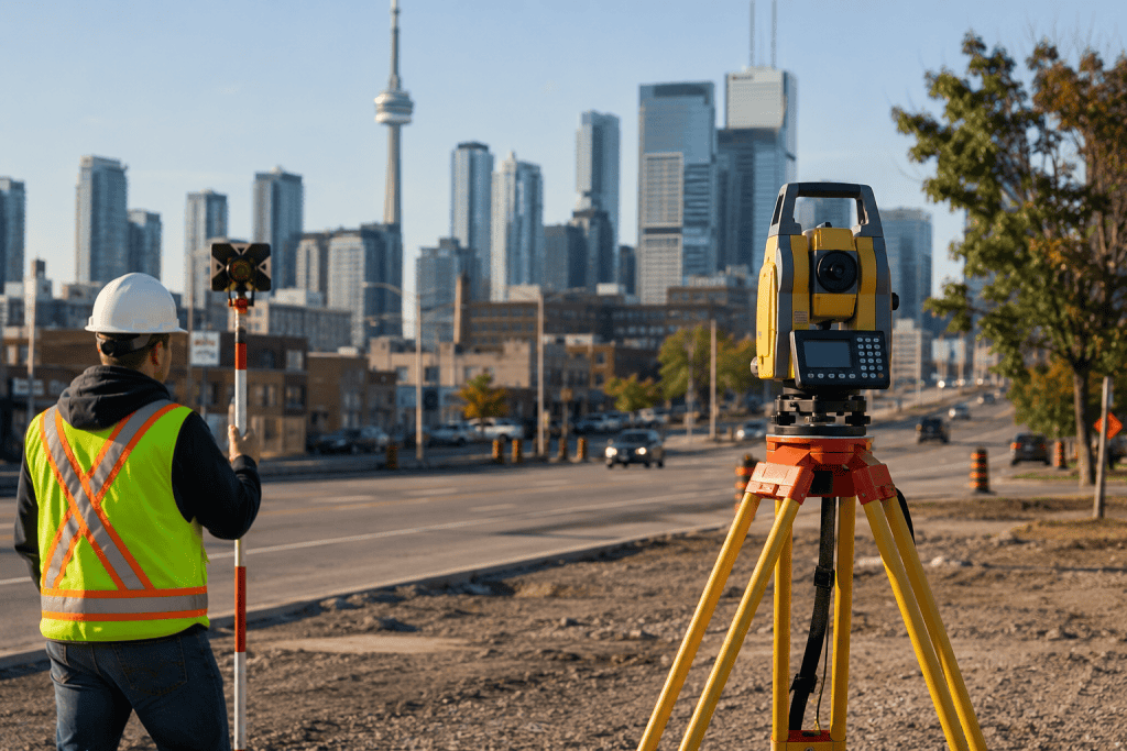
Accurate Site Mapping for Confident Design, Planning & Construction Decisions

When every inch of your site matters, precision is everything. Our Topographic (Existing Conditions) Surveys provide highly detailed and reliable data about your land’s natural and built features, helping architects, engineers, and developers make informed decisions from the start.

Whether you’re planning a residential build, commercial development, or land subdivision, we deliver accurate site intelligence you can trust.

Take Your Project Accuracy to the Next Level with Reliable Survey Data

Let's work together

What is a Topographic (Existing Conditions) Survey?

A topographic survey is a detailed mapping of a site’s surface features and elevations. It captures both natural and man-made elements, including:

✅Ground elevations and contours

✅Buildings and structures

✅Trees, vegetation, and landscape features

✅Roads, driveways, and walkways

✅Utility surface indicators

✅Retaining walls, fences, and boundaries

This data is used to create a precise “existing conditions” base map for design and engineering work.

Why Topographic Surveys Matter

Without accurate existing conditions data, even small mistakes in design can turn into costly construction changes later. A professional topographic survey helps reduce those risks by giving your design team precise site information from day one.

It supports better planning, improves coordination between consultants, and helps ensure your project moves forward smoothly without unexpected delays or redesigns.

Need Accurate Measurements? Explore Topographic (Existing Conditions) Surveys Today

Capture every detail with high-precision 3D laser scanning services in Toronto, helping architects, engineers, and builders plan smarter, reduce errors, and save time on every project.

What You Receive

You will receive a complete set of CAD-ready drawings that show existing site conditions in detail, including elevations, contours, and visible features. These drawings are formatted so your architect or engineer can start working immediately without additional adjustments.

Who This Service Is For

Our topographic surveys are used by architects, civil engineers, developers, and builders who need reliable site information before starting design or construction. It is also useful for homeowners planning additions or major renovations.

The final output is not just data it is a clear visual representation of your site that supports real design decisions.

Serving Toronto and the GTA

We provide Topographic (Existing Conditions) Surveys across Toronto, North York, Scarborough, Vaughan, Markham, Richmond Hill, Mississauga, and surrounding GTA areas, supporting projects of all sizes. Whether it’s a small residential lot or a large development site, our surveys deliver accurate and reliable site data to keep your project on the right track from the beginning.

Before design begins, it’s important to base every decision on real and verified site information. Contact us today to request a quote for your topographic survey and move forward with confidence.

Frequently Asked Questions

A topographic survey is a detailed drawing of a property showing natural and man-made features, including elevations, buildings, trees, boundaries, and visible utilities.


It helps architects and engineers understand the real site conditions, reducing design errors, construction delays, and costly changes during the build.


It typically includes ground elevations, contour lines, existing structures, driveways, retaining walls, trees, and visible surface utilities.

Architects, civil engineers, developers, builders, and homeowners planning additions, renovations, or new construction projects.

Yes. We provide services throughout Toronto, the GTA, and Ontario for commercial, industrial, engineering, and infrastructure projects.